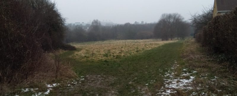
This image shows the location of the proposed development entitled “HS2-3 East of Katherines Way, west of Deer Park“.
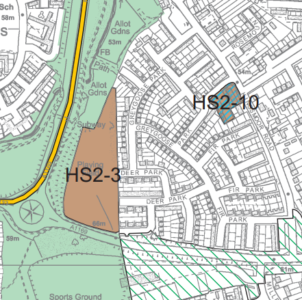
The diagram above is taken from the Harlow Council Public Document Pack “Local Plan Policy Map” (Copyright Harlow Council) published in the minutes of the Harlow Council meeting on January 25th 2018. More details of the meeting can be found on the Harlow Council website here.